
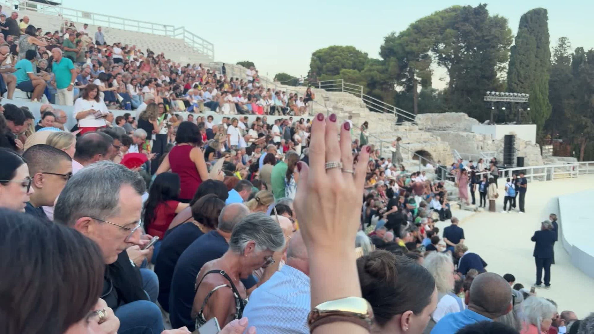
The Greek theatre of Siracusa, 25 June, about an hour before curtain.
On the 25th of June, a little after six in the evening, I walked out of our flat in Siracusa, Sicily, with earphones in, on my way to a play that was first performed in 472 BC. It was still very hot. The walk to the Greek theatre takes about half an hour, most of it along not particularly beautiful streets, and in my ears was a thirty-minute podcast about the theatre I was walking towards — made that afternoon, more or less to the length of the walk. It told me about the hillside the theatre is cut from, about Hieron II rebuilding it in stone and carving his family's names over the rows, about the Romans flooding the stage for water games and the Spanish quarrying the top rows for a fortress, and about Aeschylus himself, who came to Syracuse and staged The Persians on that very hillside, roughly 2,500 years ago. The play I had a ticket for that evening was The Persians.
I had read it earlier that day (Cookson's 1922 translation, which doesn't rhyme, which helps), so I knew roughly what was coming: the oldest surviving play in the world, told entirely from the side that lost. The queen waiting for news from Salamis, the messenger, the ghost of Darius rising from his tomb to tell everyone what they had done wrong. I was fascinated by the sophistication of the Greek playwright – this is a play that was first performed in Athens, just eight years after the devastating but ultimately victorious war of defence against the Persians. Aeschylus himself took part in the war, many in the audience were veterans, or had lost sons or husbands. And even though the play obviously dwelled on the catastrophic defeat of the Persians, it depicted them as deeply human, with dignity, a people who had themselves lost sons and husbands.
That evening is more or less what I want to write about — the feeling of arriving somewhere and finding that the place is already talking to you. But I need to back up a bit, because it involves an app, a Norman king, and an eleven-year-old who wanted to count cats.
Three people, three Sicilies
We spent the last two weeks of June in Sicily, my wife, our son Jens and me, and we wanted rather different things from it. Jens wanted a cooking class, Archimedes, war machines and cats. I wanted the Greeks and the Arabs, and in particular the odd few centuries when the island was handed between them. My wife wanted concerts and the sea. There are lots of great guidebooks and podcasts about Sicily, but they tend to tell a particular generic story from the same few angles. A great start to familiarize yourself, but not enough to feel satisfied.
Readers of this newsletter will know that my obsession with understanding antique history and culture began a few years ago at a fortress in Heraklion, Crete, in front of a plaque about the Byzantine Empire that I could not place at all. I've told that story already, so I'll spare you — but Sicily was, in a way, the first trip where I turned up with the context instead of stumbling into it. For a couple of months beforehand I had been reading about the island with Claude Code as a research assistant (where did this happen, who lived here, which books or films to read/watch, what events are on while we're there), and at some point the notes stopped being notes and became a map.
The greatest map of its age was made for one man
After playing around with Claude to research the history of Sicily, novels and films about the island (you can see the overview here), and using my history learning app Petrarca to learn about the 2700 year history, we were just packing the day before the flight (while monitoring news of a possible airport strike), when on a hunch I tried to make an app that I could actually use on the go, in the city. I called the app al-Idrisi, and the name is most of the idea.
Around 1154, in Palermo, a scholar named Muhammad al-Idrisi finished something he had been working on for fifteen years at the court of the Norman king Roger II: a description of the whole known world, with a map to go with it, engraved onto a great disc of silver. It was the most accurate picture of the world anyone would manage for roughly the next three centuries — coastlines, rivers, cities, distances, collected from merchants and travellers and cross-checked with a stubbornness that was centuries ahead of schedule. The book is called the Book of Roger.
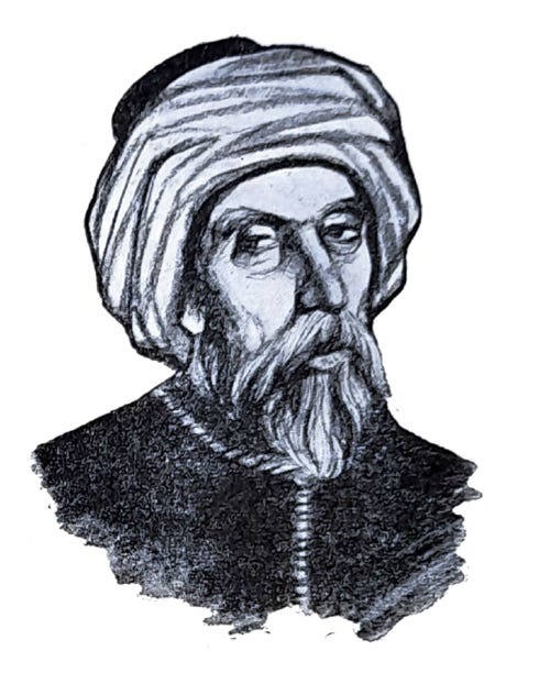
I felt like I got to know al Idrisi through Tariq Ali’s novel “A Sultan in Palermo”, a historical novel about Idrisi’s relationship with “Ruggiero”, the viking chieftain that ruled an Arabic island. Then I got annoyed because I felt Ali had taken too many liberties (Idrisi was actually born in Ceuta, recently in the news because of the migrant crisis, why pretend that he grew up in Sicily?), but that probably helped me retain the history even better.
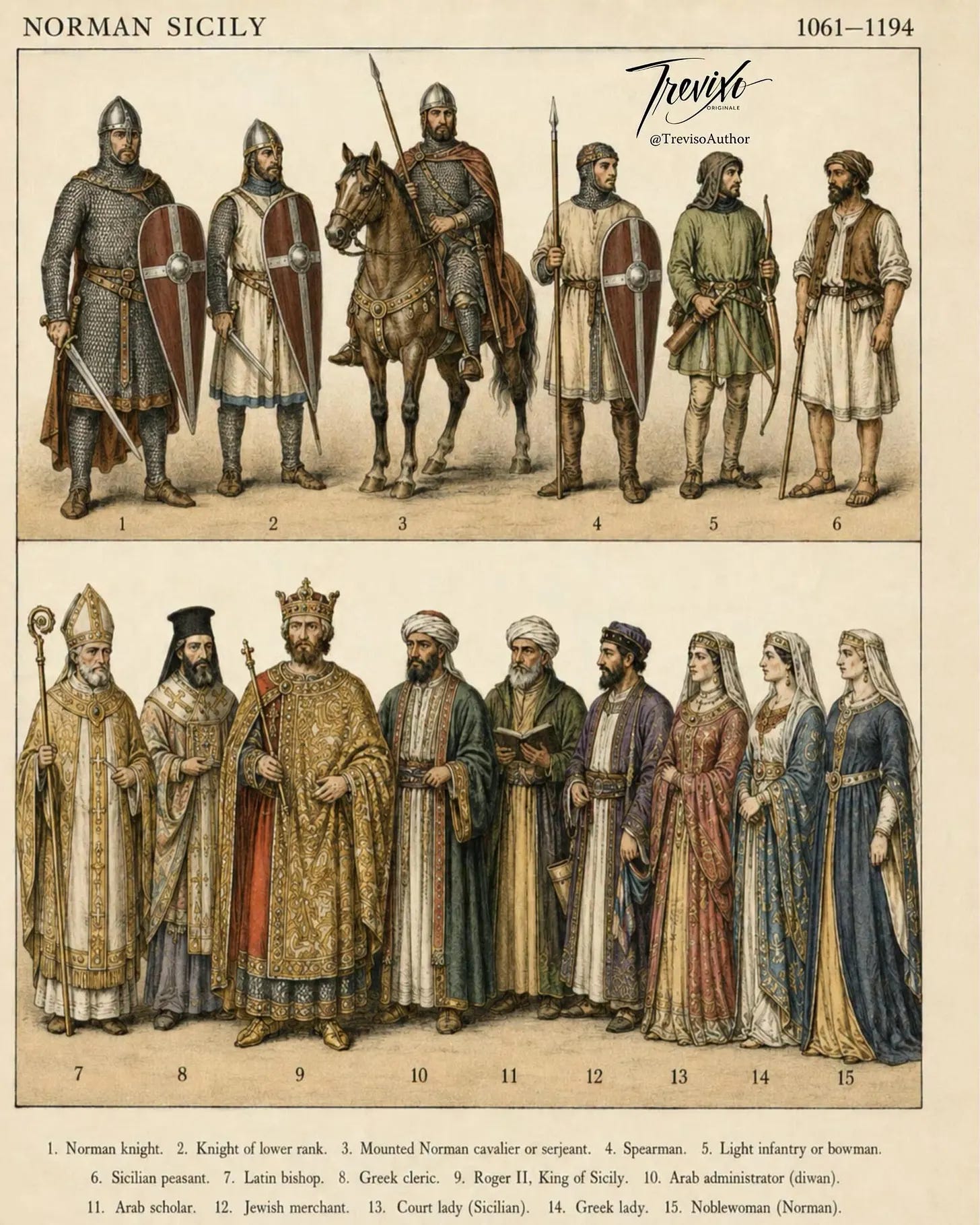
This led me down the rabbit hole of who these Normans were – a Norwegian group of Vikings who had besieged Paris, been bought off by a Carolingian king with a stretch of northern France (hence Normandie), and picked up Christianity and the French language without ever quite shedding the appetite for other people's kingdoms. So William the Conqueror (the Battle of Hastings, 1066) invaded England, and his cousin was married to Roger of Hauteville, who invaded Sicily with the Pope’s blessings (his son, Roger II was the one who got the map made). I might have been asleep, but I’m pretty sure we didn’t learn anything about viking descendants in Sicily, speaking Arabic, in Norwegian history class.
At the same time as the rest of Europe was embarking on crusades, Roger's court ran in Latin, Greek and Arabic, minted coins in three scripts, and employed the very scholars whose world it had just taken over. A Norman Christian king commissioning a Muslim geographer to describe the entire world, out of Greek and Latin and Arabic learning: that's what the map is.
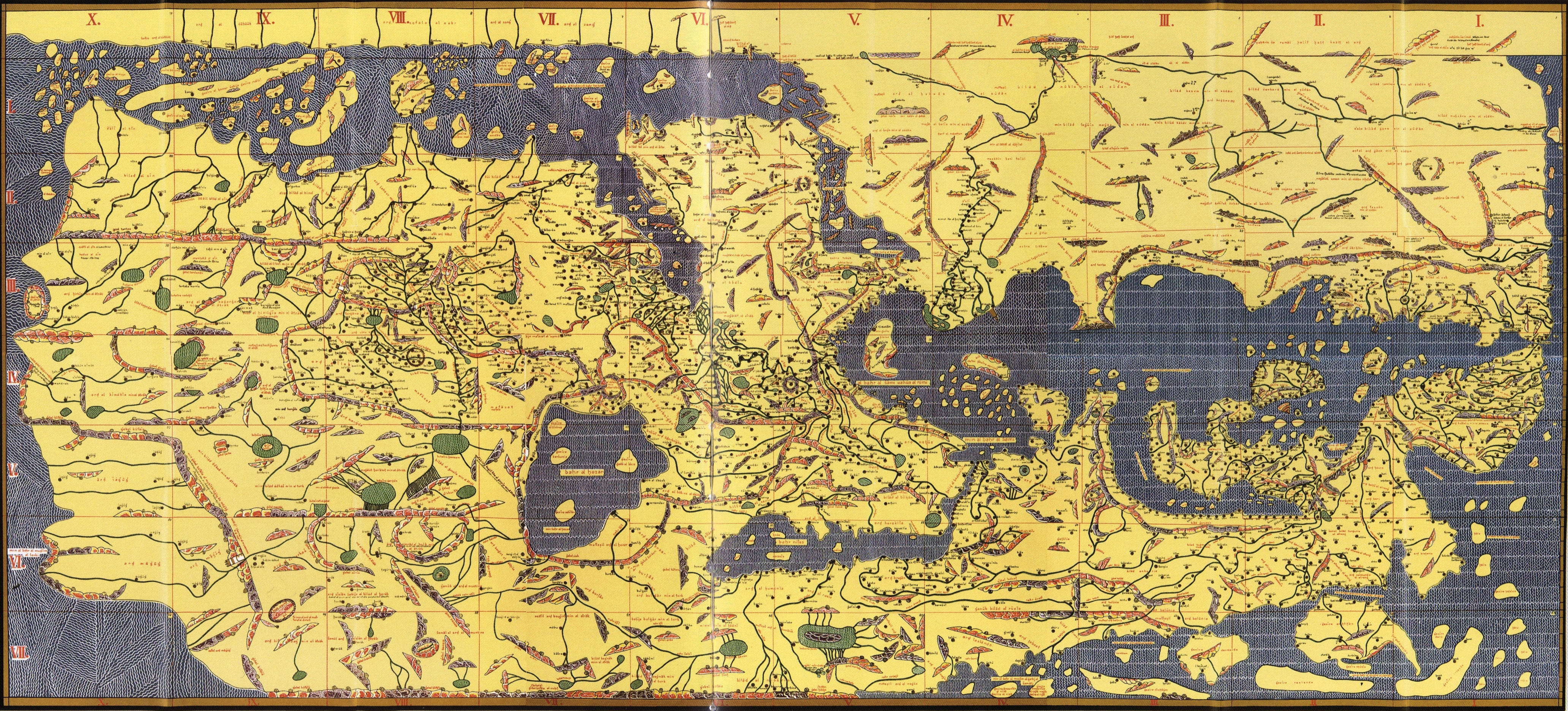
Al-Idrisi's world map, reconstructed in 1928 from his manuscripts. South is at the top, the way he drew it — so the boot of Italy hangs upside down near the middle, and you have to tilt your head to find home.
Sicily was the perfect place to assemble this map, it was in the middle of the Mediterranean, visited by sailors from across the Christian and Muslim world, with a population speaking Latin, Arabic, Greek and Jewish merchants in the harbor. But in the end, the most accurate map on Earth was a bespoke object, made for one single reader, not a mass-produced product. Roger paid for the best geography money could buy, and then one court got to use it. For most of history that is what the very best things were: singular, commissioned, unscalable. (I remember during my project on 1814 in Norway, finding out that there was not a single printing house in Norway that was able to make maps, and wondering how many people at that time had even seen a map, and how they were visualizing reading in the newspaper about battles in France and Italy… 700 years later!)
Then we got mass-production, and we all had the same cheap maps, guidebooks and travel guides. But now, quite suddenly, we can be inspired by something bespoke, something just for ourselves.
What my map holds
The bones of the app are simple. There's a map (the tiles are open data from OpenStreetMap, via Protomaps, and live on the phone so nothing needs a signal), and on the map sits everything the three of us care about: the places I had spent weeks tracing, the events we'd dug up for the exact dates we were there, both Archimedes museums, four bookshops, a handful of walking tours borrowed from izi.travel, and a few audio tours I generated myself on subjects far too particular for anyone to publish. Not the ten best things in Syracuse, but the specific rabbit holes I happened to be down that month.
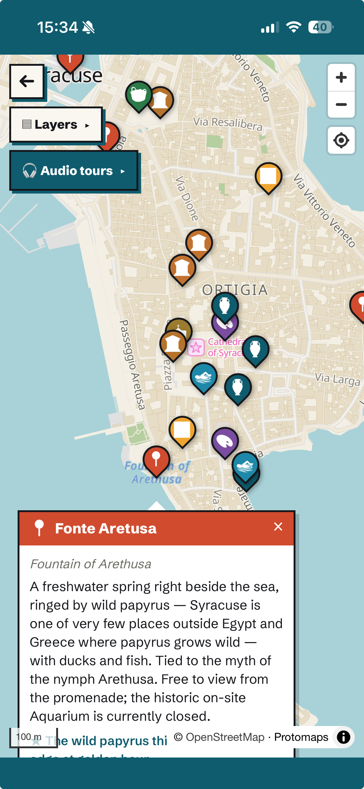
What makes it feel like something new isn't on the screen at all. You press play, put the phone in your pocket, and walk. It watches where you are, and when you get somewhere it has something to say about, it just starts talking. You don't look anything up, you don't navigate, you don't hold a glowing rectangle up between yourself and the place you came all this way to see. You stop to look at the people, buy a granita, listen to a street musician, and the voice waits for you.
On the first afternoon I took an hour for myself. I started by the cathedral and followed the route down through the lanes towards the spring at the southern tip of the island, phone in my pocket, and the voice kept picking up threads I had been reading about for months — the Arab siege, the emir drowned in the harbour, the geographer at the Norman court — and pinning them to the exact wall or window I happened to be standing in front of. That was the feeling I had been after. It's a bit like walking around with a friend who has read the same books as you, and who knows when to stop talking.
The one for Jens I made on our first afternoon, in the kitchen of the flat. Norwegian voice, seven stops around Ortigia, «Geni, krigsmaskiner og katter» — geniuses, war machines and cats — with a running gag where you count the street cats from stop one to stop seven and get a granita at the end. It told him about Archimedes’ claw lifting ships out of the water (maybe a tall tale, but exciting, and the ancients believed it), Plato trying to teach the ruler and being sold into slavery… He did the whole thing. The cat business was, he let me know, a bit much — but he took it in the spirit intended, and what he actually liked was the walking: chasing the next point on the map with me, waiting for the next story to start. It turns out (and I hadn't expected this) that an audio tour is a rather good way for a father and an eleven-year-old to spend an afternoon together, a little tour of discovery where the father isn’t the authority leading the way, but you both collaborate to find the next point.
(I should say that almost none of this is my cleverness. Open map data, walking directions from Valhalla, natural-sounding voices in Norwegian and English that cost nothing — things that were PhD projects a few years ago are now just lying around, and an evening's work snaps them together.)
Where cities move in on top of each other
Nobody in Sicily ever seems to have torn a city down to build a new one. They just moved in on top. Nowhere is this more literal than the cathedral in Ortigia.
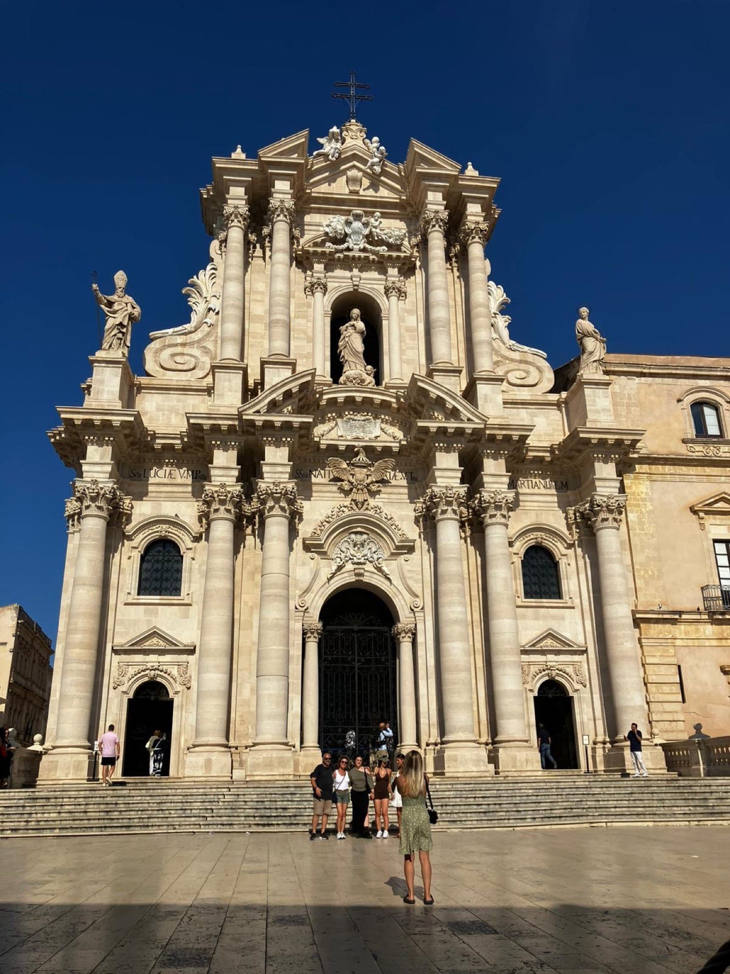
The front you see from the piazza is from the 1750s. The Greek temple is behind it — and inside it.
In 480 BC the tyrant Gelon beat the Carthaginians at Himera and built a Doric temple to Athena as a thank-you, on the highest point of the island. It never came down. When Syracuse became Christian, sometime in the seventh century, the builders simply walled up the gaps between the columns and cut arches through the inner wall, and the temple became a church. In 878 the Arabs took the city after a nine-month siege and it became the Friday mosque. In 1086 Count Roger — Roger II's father — took it back and it became a cathedral again. In 1693 an earthquake brought down the front, and the eighteenth century put a Baroque façade on it, which is what you see from the piazza. But walk inside and put your hand on the north wall: nine fluted Greek columns, still holding the roof up, in continuous use for two and a half thousand years. Pagan, Christian, Muslim, Christian, Baroque — one set of walls, and the Greek columns are still doing the work.
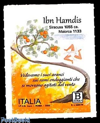
I keep coming back to two men who lived through the last of those changes, from opposite sides. Ibn Hamdis, the greatest Arabic poet Sicily produced, was born in Syracuse around 1056 and left as a young man when the Normans came, for Seville and then North Africa; he spent the rest of a long life writing about the island he could not go back to (I remember Sicily, and grief stirs the memory of it in my soul, in one translation), and died in what is now Algeria. Al-Idrisi arrived at the Norman court a generation later, and made the greatest map of the age for the son of the man whose armies had sent Ibn Hamdis into exile. Same conquest: one of them lost an island and the other got a king, and as far as I can tell the main difference was which decade you happened to be born in.
Then there's the papyrus. At the southern tip of Ortigia there's a freshwater spring, Fonte Aretusa, a few metres from the sea (the Greeks had a story about that, involving a nymph fleeing a river god all the way from the Peloponnese), and growing in it is the only wild papyrus in Europe. Nobody agrees on how it got there — a gift from Ptolemy II to the king of Syracuse in the third century BC, or brought by the Arabs a thousand years later along with the oranges, the sugar cane and the cotton. Either way there's still a small industry in Siracusa making paper from it, and at a papyrus farm outside of the city (which we could have never found without AI, the homepage is only in Italian), they showed us the plants growing and then, in about ten minutes, how you slice the pith into strips, lay them crosswise, press them, and end up with something you can write on. Very brief, and it set both of us off — me because of everything I've read about manuscripts and the monasteries of Egypt, Jens because he wanted to import papyrus to Norway and start a business.
Things we would never have found
The research did something a guidebook can't, which is that it kept finding things that were on while we were there, and things that nobody goes to.
The Archimedes museum that every tourist visits, on Ortigia, turns out to be the weaker of the two. The real one is Tecnoparco Archimede on the mainland, an open-air park where the war machines are built full-size and you operate them yourself — fire the catapult, turn the screw, try the claw. We had it almost entirely to ourselves, and a student gave us a full tour, took all the time in the world over each machine, and let Jens fire them. (It seems to be a rule in Italy that museums have horrible websites, I almost asked Claude to redesign it for them).
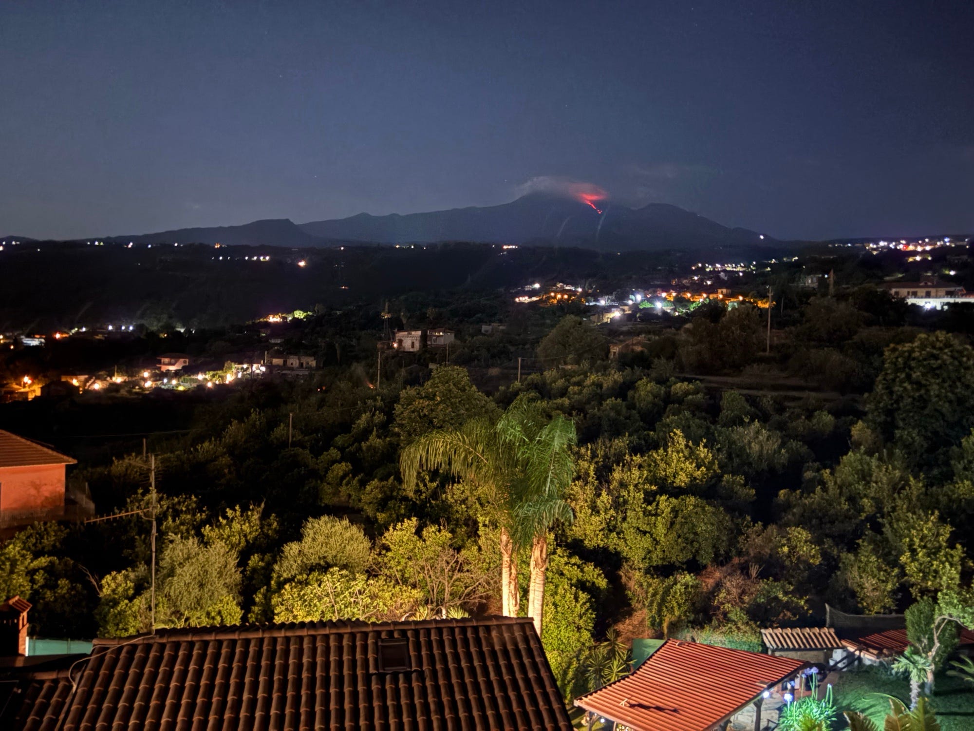
From the terrace, around one in the morning.
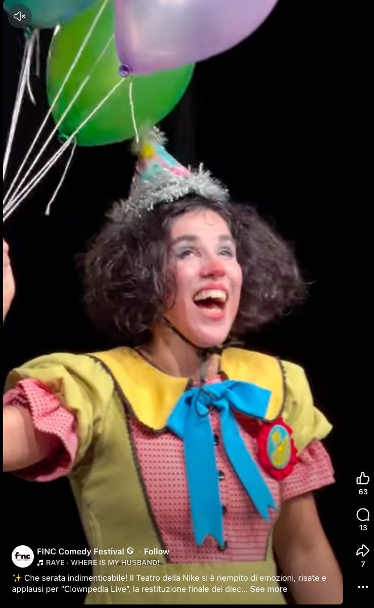
On the 28th, at our house on the slopes of Etna, we noticed after dark that there was visible lava coming down the mountain. I asked whether this was normal (it was — a new vent had opened two days earlier, and the lava was running into an empty valley; we were told, in effect, to make a cup of tea and enjoy the show). Earlier that evening we had been at the closing night of an international clown festival in the archaeological park at Giardini Naxos, which the research had found on the grounds that with a Norwegian eleven-year-old, the things that need no Italian are the things to book — clowns, jazz, a food festival, a volcano.
In Agrigento, valley of the temples, we went on a fantastic evening tour with a tour guide who not only talked about people who lived there thousands of years ago, but also about his own family, the problems with the mafia and urban development, and what it’s like to leave Sicily and then come back. It was a good reminder that AI can never provide the same human touch that an actual human can. I’m glad I can have both!
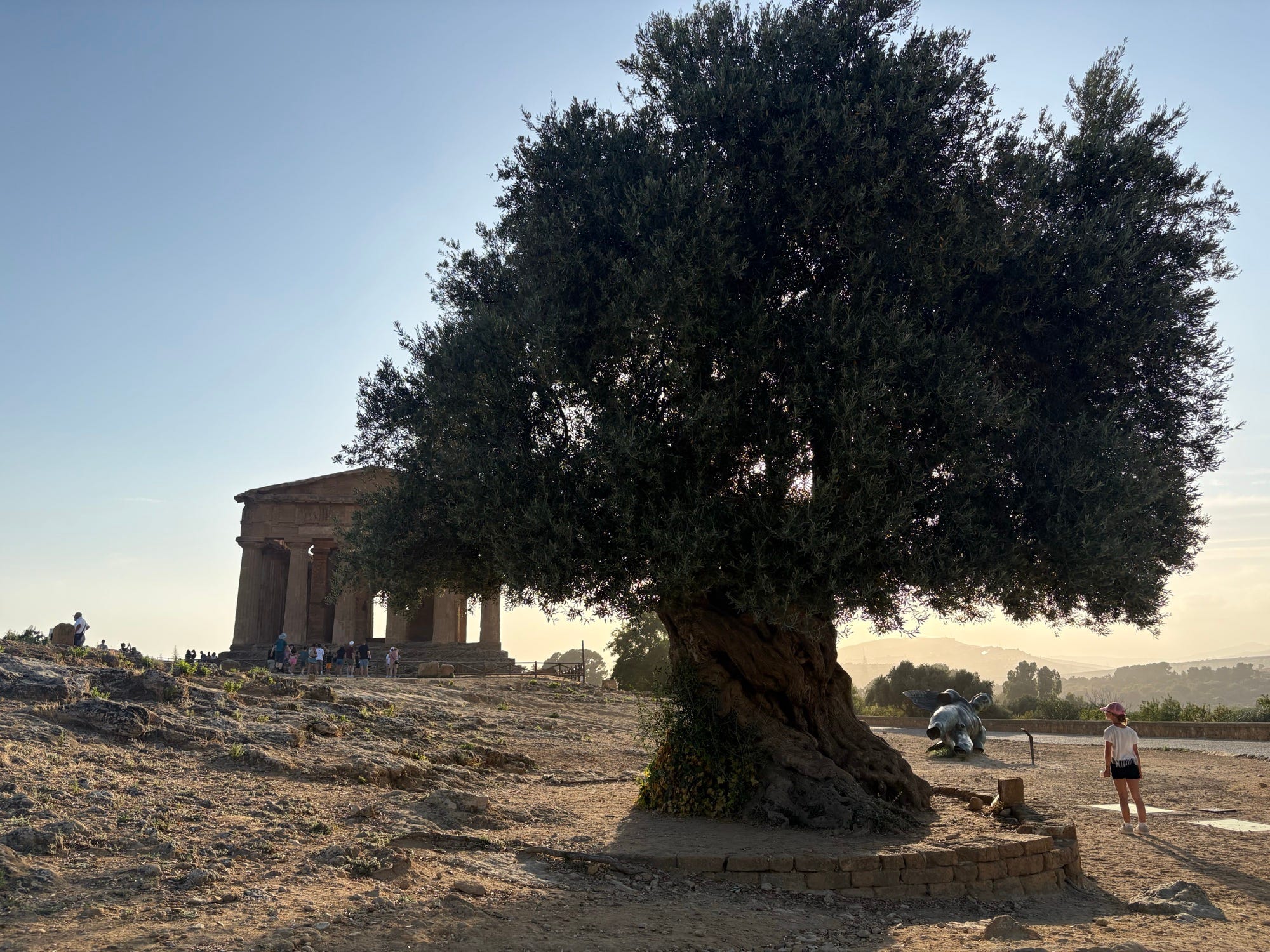
The olive trees between the temples are said to be a thousand years old — planted, if that's right, while the island was still Arab.
The next morning we drove a few kilometres out to the farmhouse where Pirandello was born in June 1867, on a clay hill above the sea in a place that is actually called Caos. He described the spot himself, in a line that is now painted on the wall of the house: one June night I fell like a firefly under a solitary pine, in a countryside of Saracen olives on the edge of a plateau of blue clay, above the African sea. His ashes are in the garden, under a stone. The museum is small; the view is most of it, and it is exactly as advertised — the Saracen olives, and the African sea.
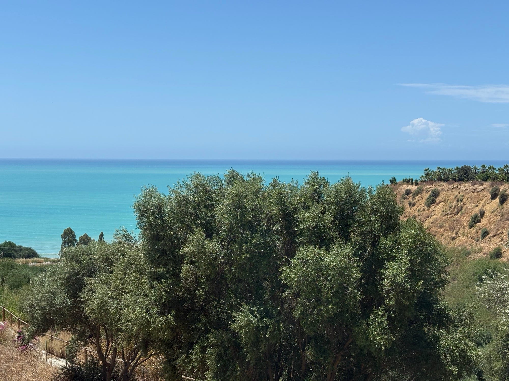
"Saracen olives on the edge of a plateau of blue clay, above the African sea." The view from the house at Caos.
Ragusa, where we stayed a night on the way south, is really two towns. After the earthquake of 1693 half the survivors rebuilt on the old hill, Ibla, and the other half started again on the next hill over, and the two only became one town again in 1926. We stayed in Ibla, in a house full of old books and a piano, with a couple in their eighties who served breakfast and told us where every single thing on the table came from; the husband, a retired doctor, explained the health benefits of the sausage from the pigs of one particular mountain. In the evening I walked the tour I'd made for Ibla, past the old gentlemen's club on the cathedral square (the Circolo di Conversazione, built in 1850 so the nobility would have somewhere to talk, and still members-only), and down to the garden at the end of the ridge, above the cliffs — and at one point the voice told me to stop and look up at the balconies. They're held up by carved faces: grinning monsters, musicians, a man with his tongue out. I would have walked straight under them.
Meanwhile Jens and my wife had gone into the cathedral to look at it, and it closed with them inside. They rang me while the voice was in the middle of a balcony; I had already been through the church on my own, so I was no use, and by the time I got back to the square they had found a way out. It was, they reported, very beautiful.
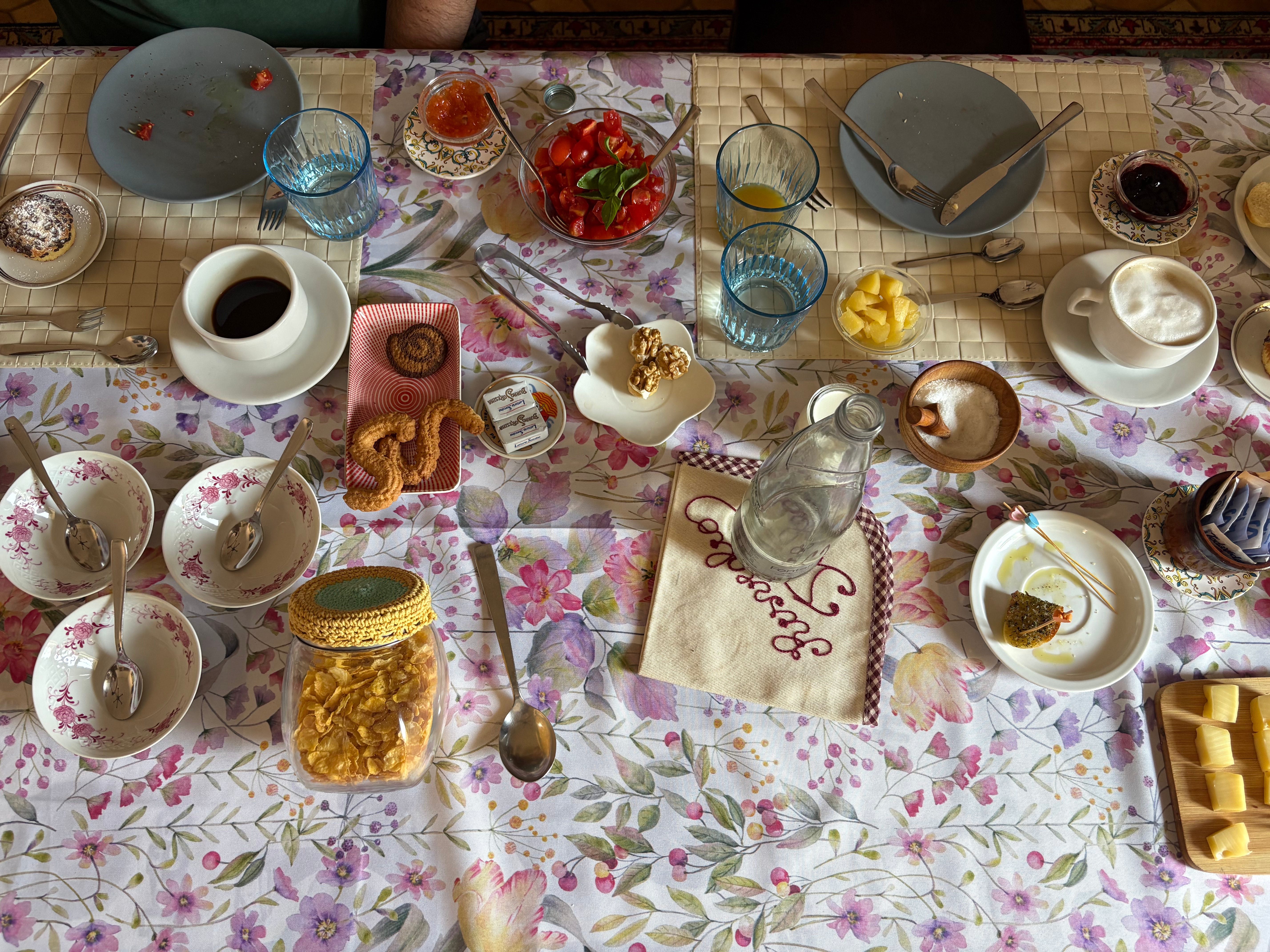
Breakfast in Ibla. The sausage is from the Nebrodi mountains.
Modica, the next morning, is the town of the Nobel poet Quasimodo and of a very particular chocolate, built down both sides of a gorge with a Baroque church at the top of 250 steps.
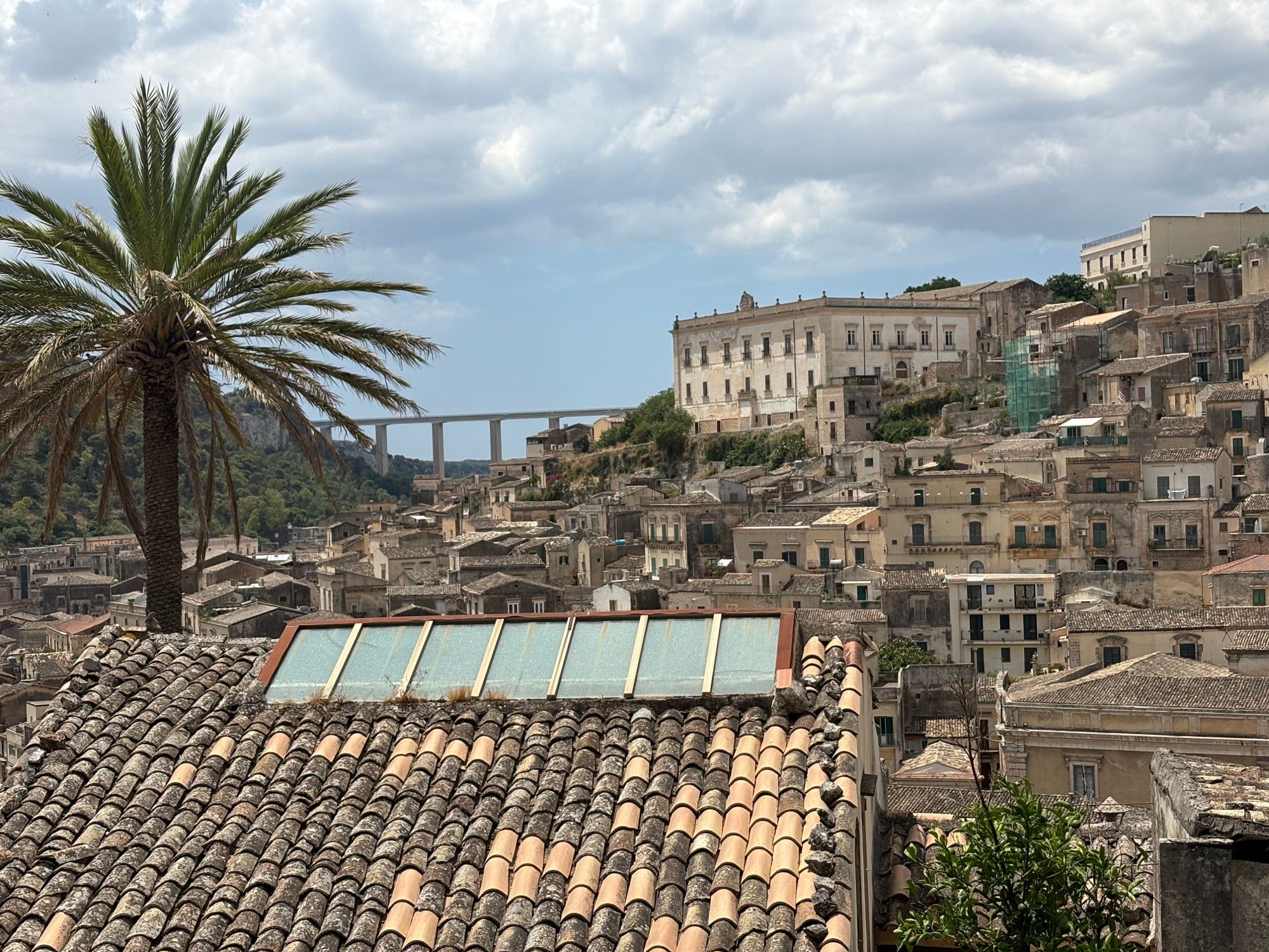
Modica, built down both sides of a gorge.
The actor, the philosopher and the tyrant
One thread ran the other way, from the island into a book.
At some point in the research I'd asked for novels set in Syracuse, and one of the answers was Mary Renault's The Mask of Apollo from 1966, which I read for almost the whole trip (and then, when we got home, two more of hers about Theseus and the Minotaur). Its narrator is an Athenian actor, Nikeratos, who tours the Greek world in the fourth century BC and ends up in Syracuse just as Plato is making his disastrous attempts to turn the young tyrant Dionysius II into a philosopher-king. This actually happened — Plato went three times, at the urging of the tyrant's uncle Dion, and it went about as well as you'd expect; on one of the visits he was more or less held prisoner in the fortress on Ortigia. And Nikeratos performs, of course, in the theatre I had walked to, on the hillside where Aeschylus had stood a century before him.
I had the island under my feet while I read it — the citadel on Ortigia where the tyrant kept Plato, the harbour, the quarries where the Athenian prisoners of 413 BC had been left to die (the ones who could recite Euripides were let out, Plutarch says); I'd walk to the theatre in the evening and read about Nikeratos performing in it at night — and it made the book a completely different experience from reading it cold. I did ask afterwards how much of it Renault had made up, and the answer was: for this one, surprisingly little. She worked from the documented fourth century, Plato's own letters and Plutarch's life of Dion; the actor is the invention, and everything he walks through is real.
A map that holds your obsessions
I don't want to make this bigger than it is. It's an app for three people, and it has no link in an app store because it has no users but us. The apps everyone actually uses — Google Maps, TripAdvisor, Apple Maps — haven't meaningfully changed in a decade, and the things I build for myself keep getting richer than any of them, which is a puzzle I've talked about elsewhere and don't intend to solve here.
But I keep thinking about the silver disc. For nine hundred years the best map in the world was made for one reader. Then for a century we all shared the same one, and it was a very good map, and it had no idea who was holding it. And now a map can once again hold what its reader cares about — a poet born in this exact town, a play on this exact hillside, a boy who wants to know where Archimedes died and how many cats live at the spring — and it costs an evening, not a court's fortune.
Where are you going next, and what would your map hold? You can just reply.
Stian